

Geospatial-Accuracy Governance.
Geospatial Data Regulation (with Case Laws)
1. What is Geospatial Data?


4
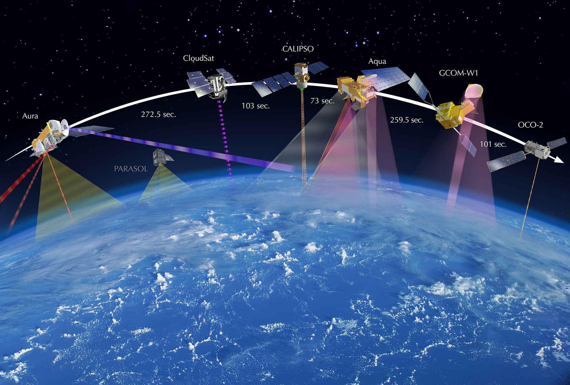
Geospatial data refers to information that identifies the geographic location and characteristics of natural or constructed features on Earth. It includes:
- Satellite imagery
- GPS coordinates
- Mapping and navigation data
- Location-based services (LBS) data
- Drone and remote sensing data
2. Regulatory Objectives
Geospatial data regulation seeks to balance:
(a) National Security
- Prevent misuse of sensitive mapping data (military bases, borders)
(b) Economic Development
- Enable innovation in sectors like logistics, urban planning, fintech
(c) Privacy Protection
- Control misuse of personal location data
(d) Data Sovereignty
- Ensure control over national geospatial infrastructure
3. Regulatory Framework (Global & Indian Context)
(A) India
(i) Geospatial Guidelines, 2021
- Liberalized mapping rules
- No prior approval required for most mapping activities
- Restrictions on high-resolution sensitive data
(ii) Companies Act, 2013
- Governance obligations when geospatial data is used commercially
(iii) Digital Personal Data Protection Act, 2023
- Applies where geospatial data identifies individuals
(iv) Remote Sensing Data Policy, 2011
- Regulates satellite data dissemination
(B) International Framework
- INSPIRE Directive (EU) – Standardizes spatial data infrastructure
- GDPR (EU) – Covers location data as personal data
- US Commercial Remote Sensing Regulations – Licensing for satellite operators
4. Key Legal Issues in Geospatial Regulation
(a) National Security vs Open Access
- Governments restrict mapping of sensitive installations
(b) Privacy and Surveillance
- Location tracking raises concerns of profiling and surveillance
(c) Data Ownership
- Who owns geospatial data: individual, company, or state?
(d) Liability for Inaccurate Data
- Incorrect mapping may cause economic or physical harm
(e) Cross-Border Data Transfers
- Restrictions on storing and sharing geospatial data internationally
5. Compliance Requirements for Corporates
(a) Data Classification
- Identify sensitive vs non-sensitive geospatial data
(b) Licensing & Permissions
- Required for high-resolution or restricted data
(c) Storage & Localization
- Sensitive data may need to be stored within national borders
(d) Privacy Compliance
- Consent for collecting user location data
(e) Security Measures
- Encryption, access controls, cybersecurity safeguards
6. Key Case Laws
1. Anuj Dhar v Union of India (2014, India)
- Concerned restrictions on publication of sensitive geographic information
- Court emphasized national security considerations in regulating maps
2. Google India Pvt Ltd v Visaka Industries (2020, India)
- Issue: Liability for location-based content on digital platforms
- Held: Intermediaries may be liable if they fail to exercise due diligence
- Relevance: Applies to mapping platforms hosting geospatial data
3. Justice K.S. Puttaswamy v Union of India (2017, India)
- Recognized right to privacy as a fundamental right
- Location data qualifies as personal data
- Basis for regulating geospatial data collection and processing
4. Carpenter v United States (2018, USA)
- US Supreme Court held that cell-site location data is protected under privacy rights
- Law enforcement requires warrant for access
- Landmark for geolocation privacy
5. ACLU v Clapper (2015, USA)
- Mass surveillance programs involving metadata (including location data) challenged
- Court limited bulk data collection practices
- Reinforces proportionality in geospatial surveillance
6. Digital Rights Ireland Ltd v Minister for Communications (2014, EU)
- Struck down data retention directive
- Held indiscriminate retention of location data violates privacy
- Important for geospatial data retention policies
7. Bangalore Water Supply v A Rajappa (1978, India) – Indirect Relevance
- Though not directly geospatial, recognized broad scope of “industry”
- Relevant for determining applicability of regulations to mapping companies
8. United States v Jones (2012, USA)
- GPS tracking without warrant held unconstitutional
- Established limits on continuous geolocation tracking
7. Judicial Principles Emerging
- Location Data = Personal Data
- Surveillance Requires Legal Authorization
- National Security Justifies Limited Restrictions
- Proportionality and Necessity Tests Apply
- Intermediaries Have Due Diligence Obligations
- Unrestricted Data Retention is Unlawful
8. Emerging Regulatory Trends
(a) Liberalization with Safeguards
- India’s 2021 guidelines encourage innovation but restrict sensitive data
(b) Integration with AI & Big Data
- Geospatial analytics used in smart cities, defense, climate monitoring
(c) Drone and UAV Regulation
- Increasing overlap with aviation and surveillance laws
(d) Real-Time Data Governance
- Regulation of live tracking systems (ride-hailing, delivery apps)
9. Risk Management Strategies for Organizations
(a) Legal Risk
- Conduct regulatory audits of geospatial data usage
(b) Operational Risk
- Ensure accuracy and reliability of mapping systems
(c) Cybersecurity Risk
- Protect geospatial databases from breaches
(d) Reputational Risk
- Avoid misuse of location data
10. Conclusion
Geospatial data regulation sits at the intersection of technology, national security, and privacy law. Courts globally emphasize privacy protection, proportional surveillance, and lawful data use, while governments seek to unlock economic value through liberalization. For corporations, compliance requires a multi-layered approach combining legal, technical, and governance frameworks.
RELATED Blog

comments